Three Hikes Just Outside of Denver Not To Miss
Hiking season is peaking which means it’s time to lace up the boots and top off the camelback. These trail options offer a solid mix for beginner to advanced hikers looking for their next adventure.
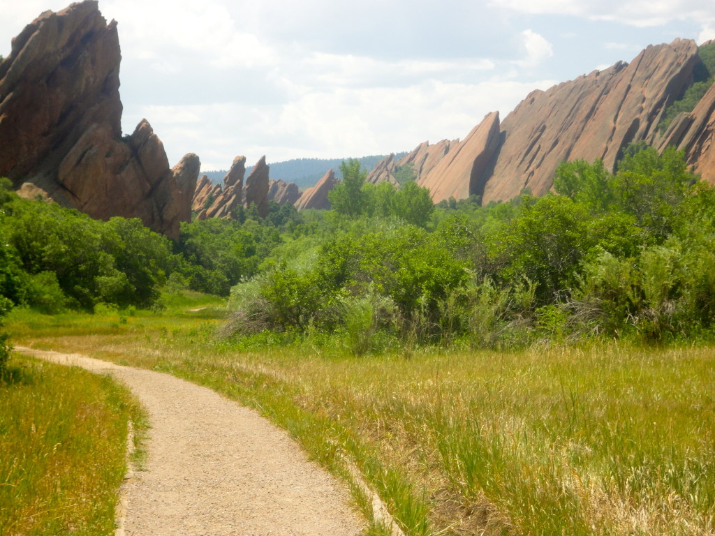
Roxborough State Park/ Douglas County
Rating: Easy to Moderate

Towering red rock formations surround Roxborough State Park creating dramatic views in southwest Denver
This State Park is perfect for both novice and experienced hikers ready to be entranced with majestic views of red rock formations. Stay on the look out and bring a pair of binoculars because chances are high you will see several varieties of birds and wildlife- including golden eagles, black bears, mule deer and even rattlesnakes.
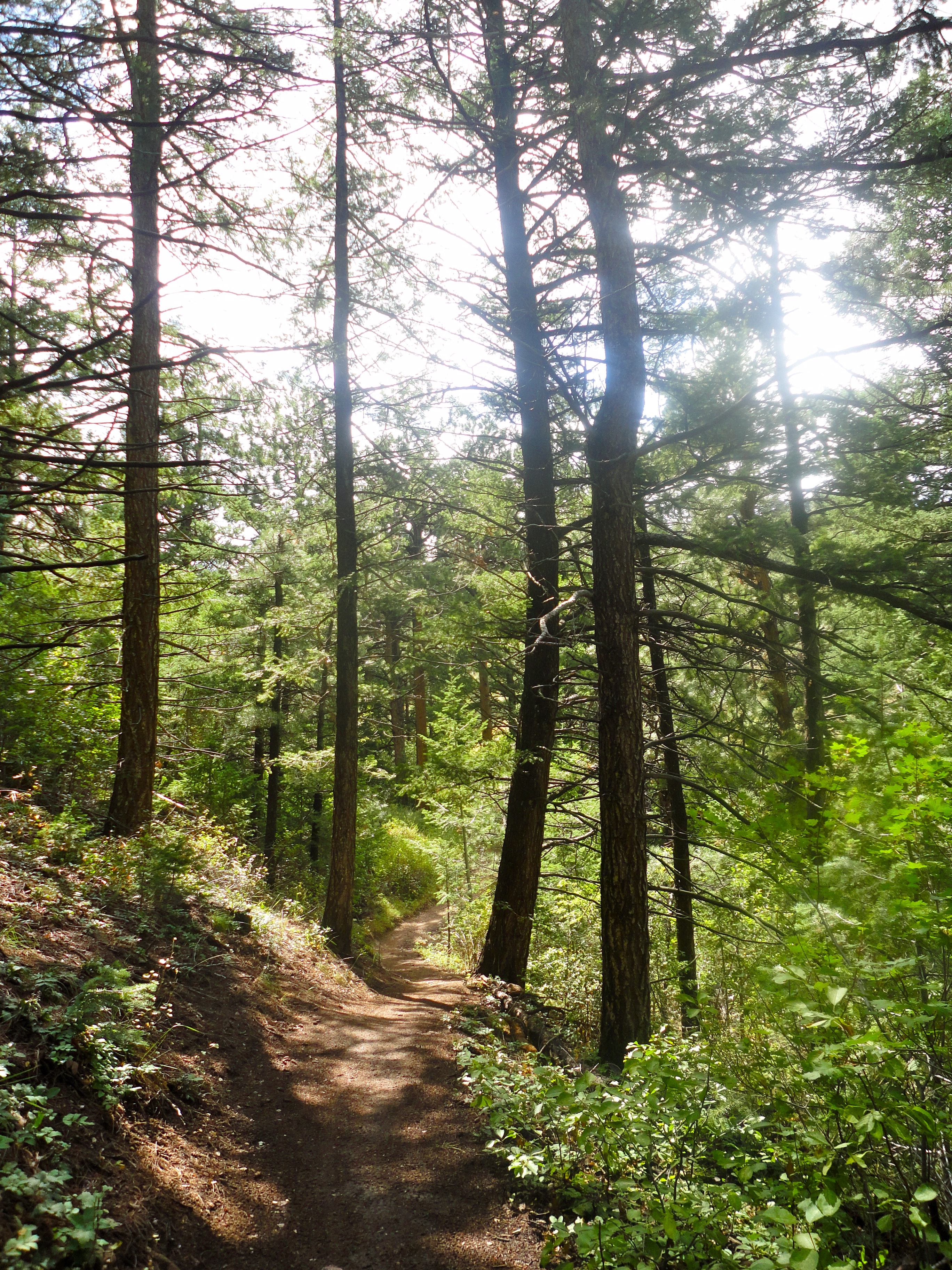
The Fountain Valley Trail will leave you oohing and ahhing as you pass towering formations. The relatively flat 2.25 mile loop starts and ends at the visitor center. Midway you will encounter what was once Henry Persse’s cabin in the early 1900’s.
If you are feeling ambitious trek the 6.2-mile Carpenter Peak Trail. The moderately challenging path summits at the highest point in the park and provides a stunning 360 degree view.
Directions: Head south on Wadsworth past Chatfield State Park. Turn left on Waterton Road; continue on Waterton Road until it ends at North Rampart Range Road. Turn right on North Rampart Range Road. Continue south 2.3 miles. At the intersection of North Rampart Range Road and Roxborough Park Road, turn left onto Roxborough Park Road. Take next right to enter the park. Entrance pass is required.
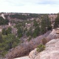
Deer Creek Canyon/ Jefferson County
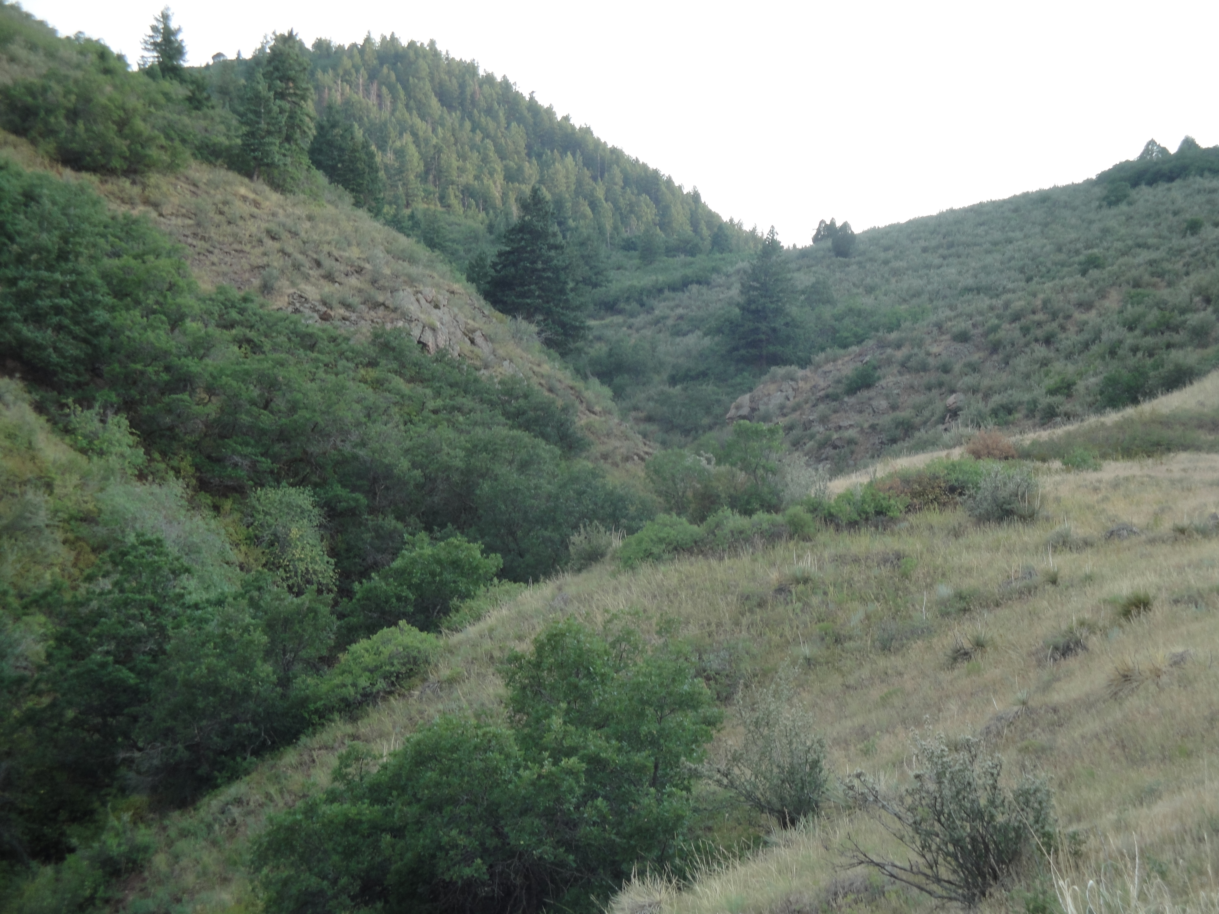
Find trails for every level hiker at Deer Creek Canyon with grandiose sights of Deer Creek Canyon
Rating: Challenging
The trails at this Jefferson County Space Park offer several loop trails bringing up-close looks of wildflowers, scrub oak and a chance to see wildlife. From the trailhead on Grizzly Drive choose between the steep 3-mile round trip Plymouth Creek Trail or the less challenging 3.2 round trip Meadowlark Trail. If you want to miss the buzz of mountain bikers choose the hiker only Meadowlark trail. The end of the path is rewarding, take a minute to catch your breath and enjoy sweeping views of Deer Creek Canyon and Chatfield Reservoir. The next move is to either head East on the Plymouth Creek Trail or keep trudging West to hook up with the 2.5 Red Mesa Loop.
The Plymouth Creek Trail tops off at 7,800 feet climbing to the top of the quad burning Plymouth Mountain. At the end of the trail, hike the 2.6 miles on the Plymouth Mountain Loop on the south side of the mountain or head back to base camp. Hiking distances range anywhere from just over three miles and top off at nine miles.
Directions: From C-470 take the Wadsworth Exit South. Turn West on Deer Creek Canyon Road, head west to Grizzly Drive, then right into Deer Creek Canyon Park.
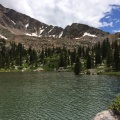
Apex Trail/ Jefferson County
8 trail options totaling 9.1 miles throughout Apex Trail keep hikers coming back.
Rating: Challenging
The Apex Trail is similar to the ‘Choose Your Own Adventure’ books many of us read as kids. On this trail, you have several options: Peel off to an “Enchanted Forest,” drop down to a valley or trek up the ridgeline for wide-open views of Denver and Golden. Getting bored, however, is not an option.
The Apex Trail starts the adventure. After .4 miles you can have the choice to hike into the northern side of the mountain on the Argos trail or stay Western on the Apex Trail. If you choose the Argos Trail you will pick up the Pick ‘N Sledge trail with the option of completing the Grubstake Loop. Both Hardscrabble and Sliucebox hook back to the main Apex Trail. If you bypass the north side and stay straight on the Apex Trail you will meet the Enchanted Forest after about 1.5 miles where you are likely to spot rabbits, coyotes, mule deer elk and possibly even a mountain lion! The Enchanted Forest trail connects back with the Apex Trail after 1.4 miles. The trails totals 9.1 miles.
Directions: Head West on 6th Ave. from I-25. After passing under I-70 turn left on Highway 40. After about a mile turn into the Heritage Square Parking Lot on your right side.