Arthurs Rock
 Just minutes from the main street Fort Collins are 20 miles of trails in Lory State Park. Arthur’s Rock is one of the most sought after summits.
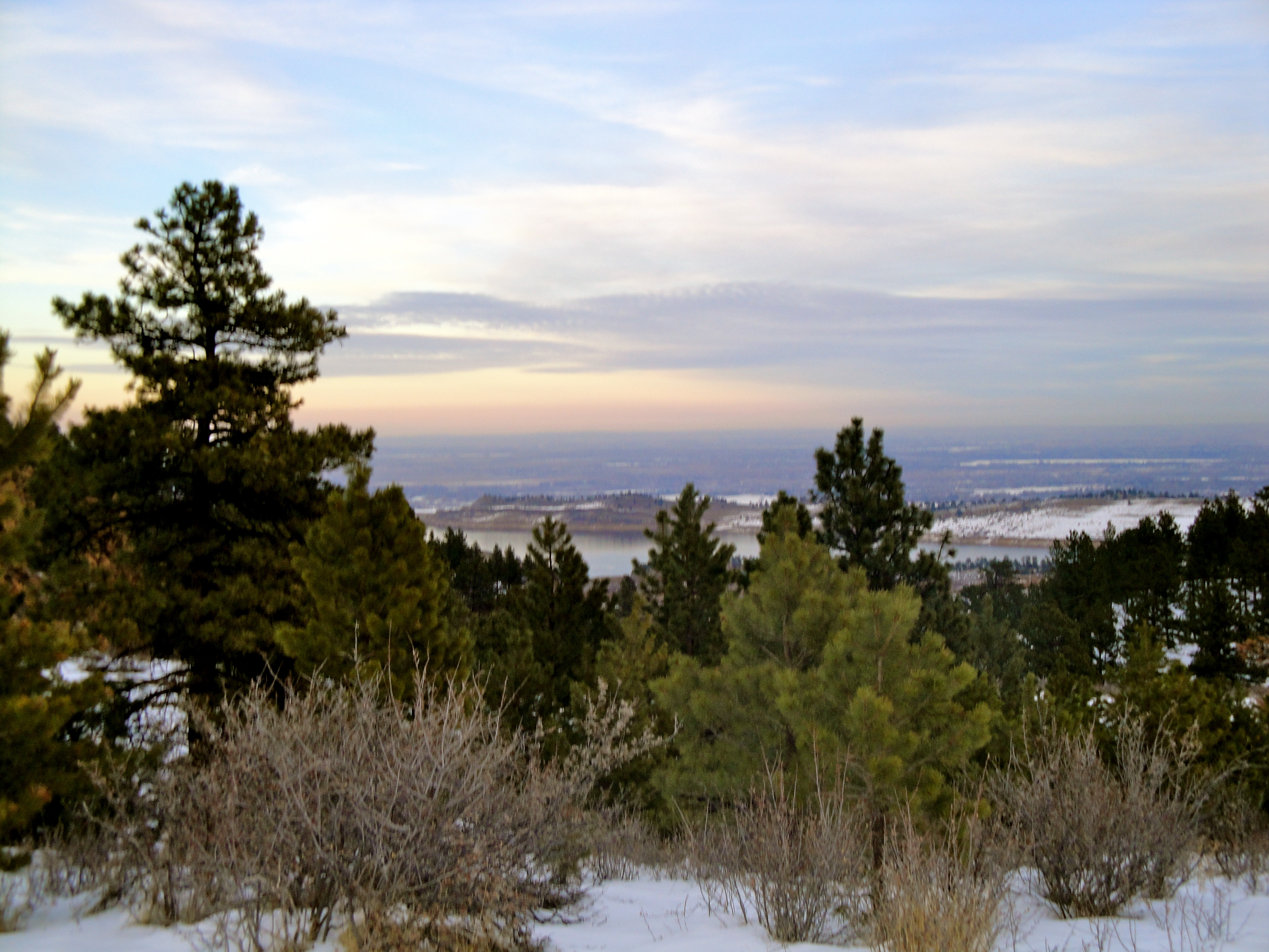
This hike is not off-limits in the winter. The trail climbs about 1,200 feet in 1.7 miles and becomes increasingly steeper after winding through snow-capped Ponderosa Pines. The path soon climbs the side of the mountain, switch backing a couple of times until leading to an overlook offering the first wide-open view of Horsetooth Reservoir. The final steps of the hike become a tad more difficult… you will need to hike up a large crack in the rock to reach the summit. But it’s not too technical and you are rewarded with a captivating view of the 6 mile Horsetooth Reservoir and the Front Range.
Driving Directions To Trailhead From Downtown Fort Collins:
Head West on Mulberry St. until it dead ends into Overland Trail Rd. Turn right (north) on Overland Trail, and go about 2.5 miles to Bingham Hill Rd. Turn left (west) on Bingham Hill Rd, over the hill, and continue until it crosses CR 23E. Turn left (south) on 23E, and turn right onto 25G. Follow the directions above into the park.
**Lory State Park is located northwest of Fort Collins and south of the town of LaPorte, along the shore of Horsetooth Reservoir
no images were found


