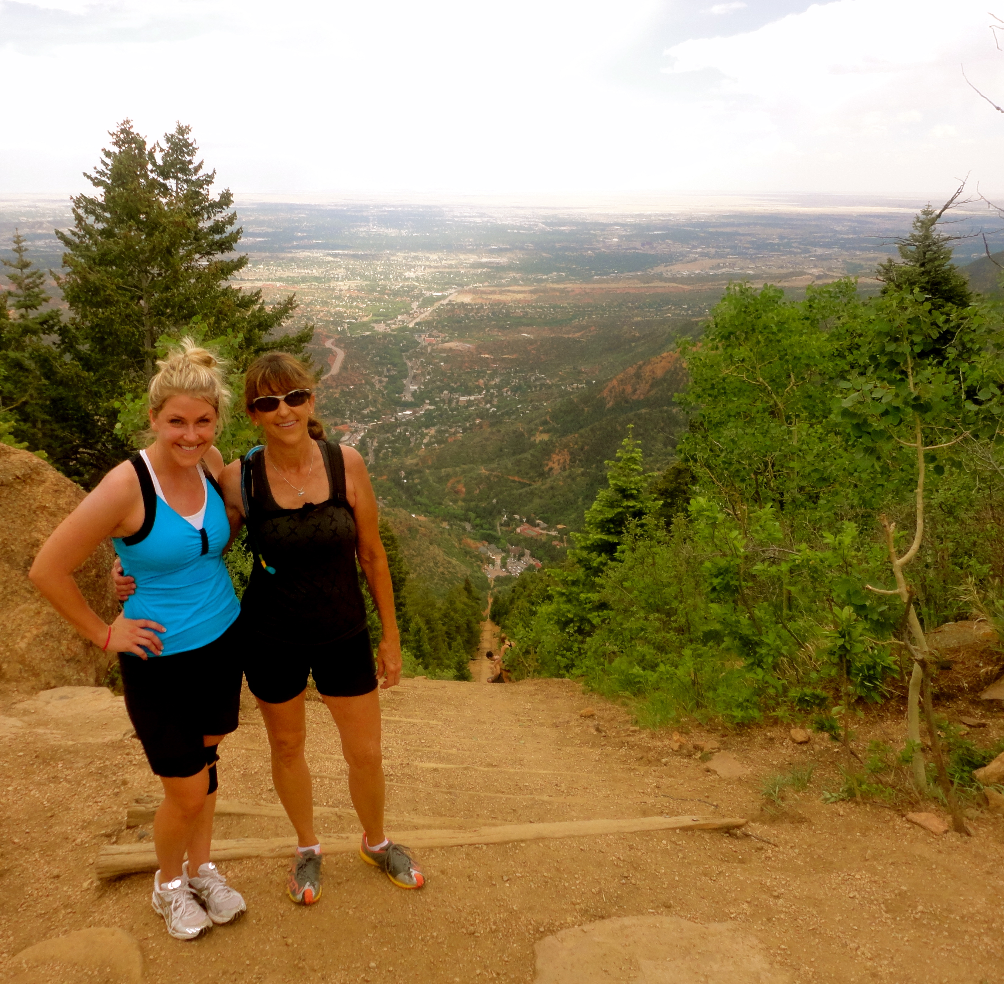
The Manitou Incline
 The Manitou Incline takes hiking to a whole new level. You can see it for miles coming, inching it’s way up the old railway. This trail gains 2,000 feet of elevation in just one mile.
The incline was once the Mount Manitou Scenic Incline Railway. Cable Cars took people to the top at 8,500 feet for stunning views of Manitou and Colorado Springs. After a rockslide railcars couldn’t keep chugging, but railroad ties still act as stairs to boost people to the top.
It turns out the Incline is not open to the public, anyone hiking is considered trespassing on private property. I am not trying to get you in trouble or dig up a rebellious spirit because no one has received a ticket. There are ongoing efforts to work with the owners of the Incline to open it to the public but it’s been a battle since 2007.
If you are ready to feel the burn the Incline is ready for you to trespass. If you are worried about the steepness heading down, take the ” Barr Trail” that leads to switchbacks to the bottom. Here’s how to get there.
Directions: From Manitou Springs, take Ruxton Avenue (off of Manitou Avenue) west toward the mountains. The actual incline begins close to the Cog Railway parking lot. Either park in the Barr Trail lot or park farther downhill along Ruxton Avenue.
If you want to drive home, do not park in the Cog Parking Lot, or you will be towed. no images were found


